 This page's pick
Temple & forest hike
Trek to Wat Pha Lat, then the chedi
- Length
- 4 hrs
- Reviews
- 855
- Price
- from $24
Guides
Language
EnglishCurrency
US dollar · $Your currency applies on GetYourGuide too.
Guide · Doi Suthep
How to get to Doi Suthep without a car: walk the old forest path from the edge of the city to a hidden temple at Wat Pha Lat, then on up the mountain to the golden chedi.
Editorial team, trekkingtourchiangmai.comUpdated October 27, 2026Read time: 6 min38 sources
Quick answer, the hike
Doi Suthep is the mountain you see from almost anywhere in Chiang Mai. The park service notes that the city is only six kilometers from its foot and about 16 kilometers by road from the summit.1 It was once called Doi Oi Chang and takes its present name from the hermit Wasuthep, who meditated on the hill.4
The mountain is protected as Doi Suthep-Pui National Park, created by royal decree in 1981 as Thailand's 24th national park and extended in 1982 to about 261 square kilometers.56 The land climbs from 330 to 1,685 meters, and the highest point is the summit of Doi Pui.7 Doi Suthep itself reaches 1,601 meters at San Ku.8
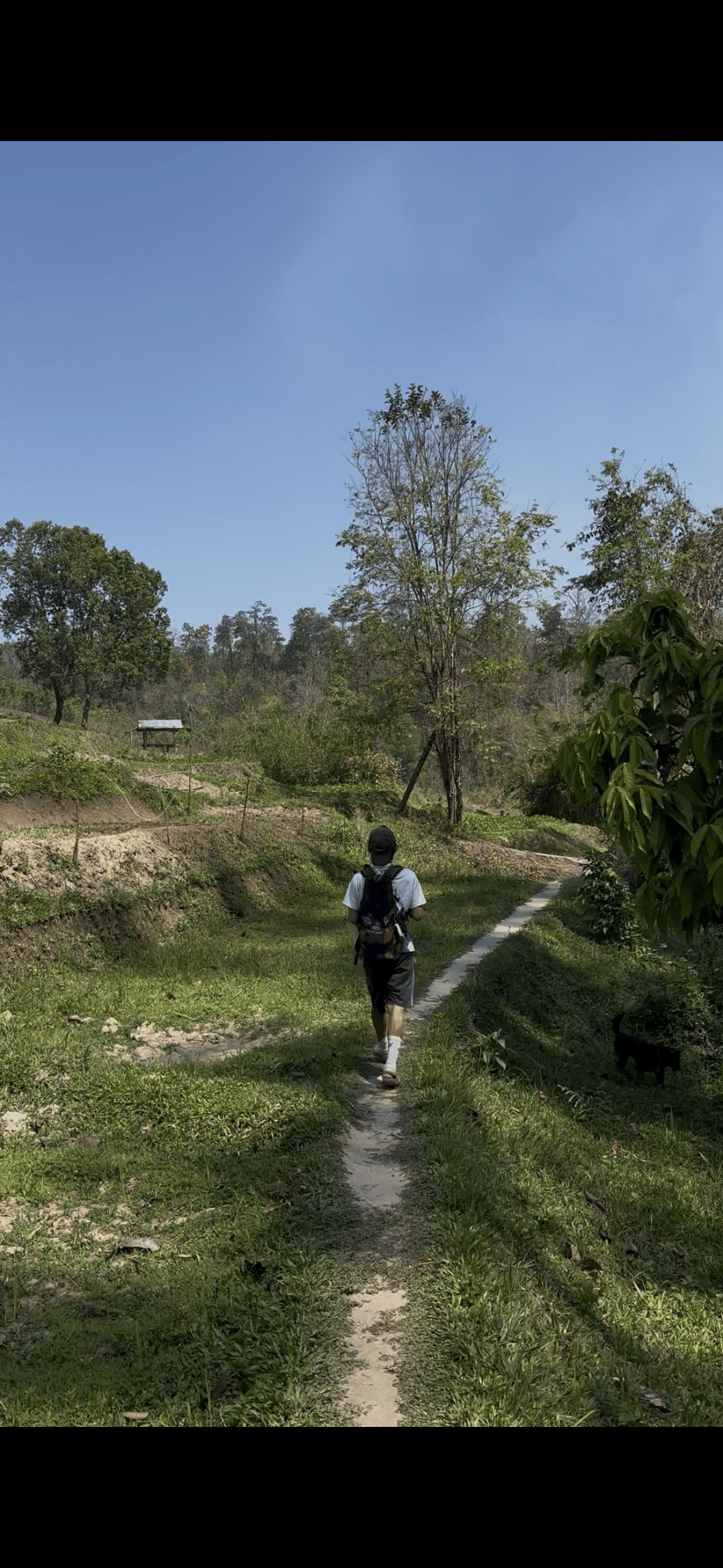
That closeness is what makes the walk special. Within minutes of the last houses you are in forest, on a path that people have climbed for centuries to reach the temple above. You can be back in the city for lunch, which makes this a hike that fits into a single morning.
The 4-hour hike, as listed
Pickup
Pickups begin up to 45 minutes before the start.
The trail
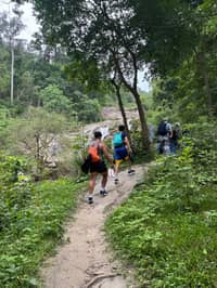
A short trek up to the temple in the trees.
Halfway
Old stone buildings, carvings and city views.9
Up the mountain
The golden chedi and the view over the city.10
Back
The listing gives the trip 4 hours.
The trail's first goal is Wat Pha Lat. TAT describes it as a secluded temple hidden in the jungle on the road to Wat Phra That Doi Suthep, built in the mid-14th century as a resting place for people making their way to the Doi Suthep temple.2 In the 1930s it became a meditation site for monks.2
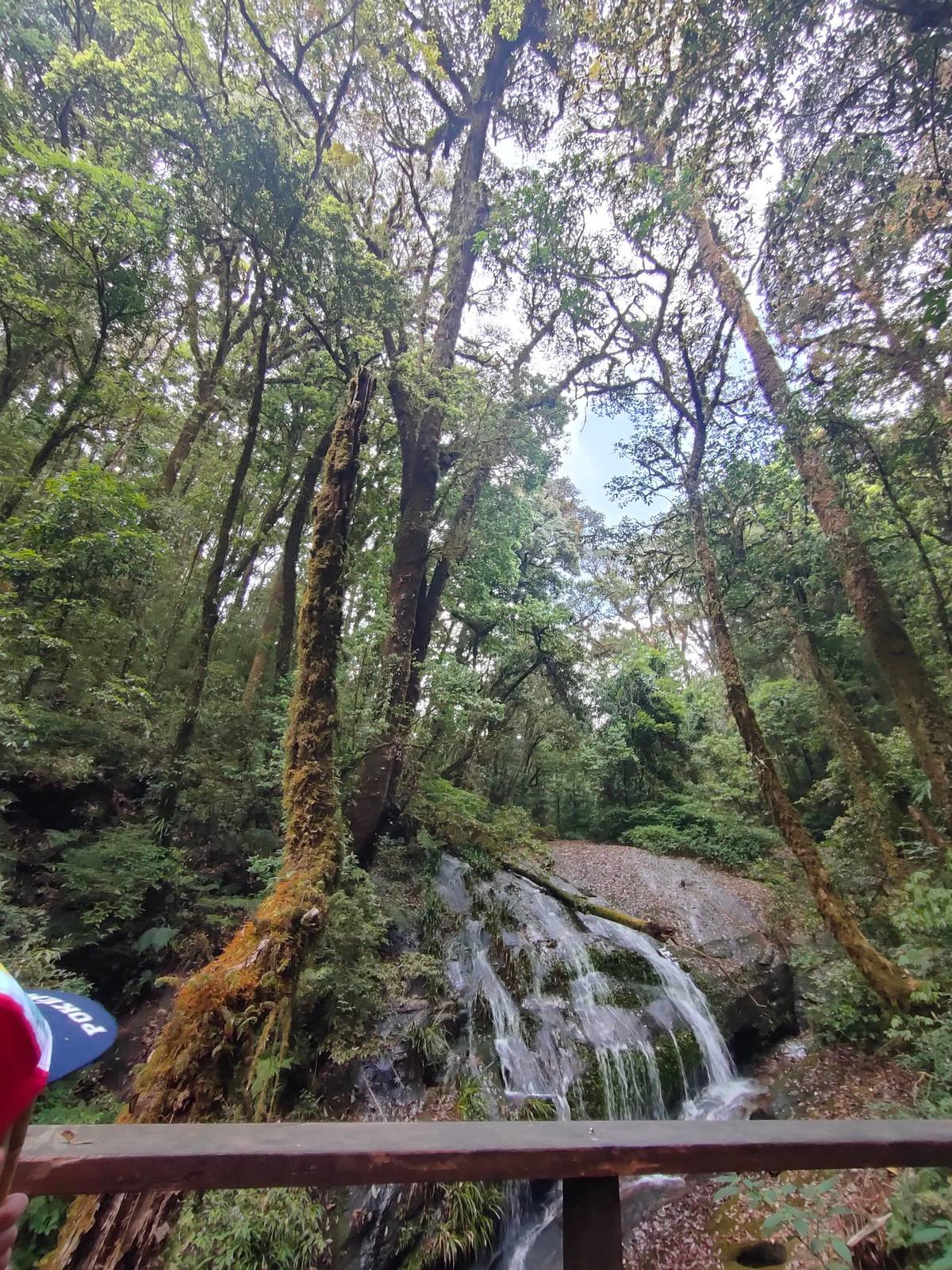
Its name translates as the Monastery at the Sloping Rock, and TAT notes its old stone buildings, carvings and statues and its own views over the city.9 A stream runs over the rock beside the temple, and the buildings sit among trees and moss. It is a working monastery, not a museum: monks live and meditate here.
Walk through quietly. Cover shoulders and knees, keep your voice low, and do not climb on statues or step over the rope lines. You can stop here, sit by the water and turn back; if you have the legs for it, the path carries on uphill towards the main temple.
Two mountains
| Feature | Doi Suthep | Doi Inthanon |
|---|---|---|
| Highest point | 1,685 m, Doi Pui | 2,565 m |
| From the city | Half hour drive | About 90 minutes |
| National park since | 1981 | 1972 |
| Park area | About 261 km² | 482 km² |
| Rain a year | 1,350 to 2,500 mm | 2,000 to 2,100 mm |
| Coldest | 4 to 5 °C lows | 0 to 4 °C frost days |
Figures from the park service's pages for each park and from TAT.71231351461516171819
Three ways up
This page's pickTrek to Wat Pha Lat, then the chedi
 Longest walk
 No hiking
Decision helper
Pick the line that matches your morning.
A forest trek to Wat Pha Lat, then the main temple by songthaew.
1.5 hours on the Monk's Trail plus 2.5 hours towards Doi Pui.
Up by songthaew at 5:00, then walk down from Wat Pha Lat.
One sunrise tour reaches Wat Pha Lat and Doi Suthep by van.
One listing pairs a 40-minute Wat Pha Lat hike with an elephant camp.
Built in the mid 14 th century, this was originally a resting place for people making their way to the Doi Suthep temple and then in the 1930s it became a meditation site for monks.
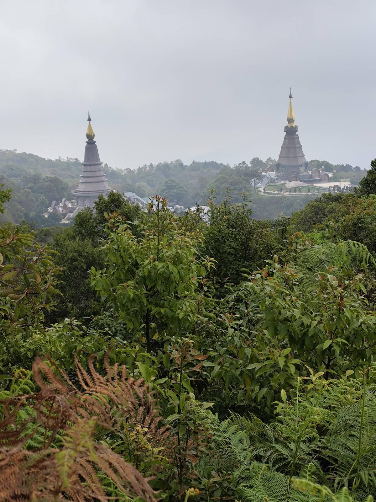
Above Wat Pha Lat the route continues to Wat Phrathat Doi Suthep, which TAT places at an elevation of 1,056 metres, an easy half hour drive from downtown.3 The temple dates back to the late 14th century.20
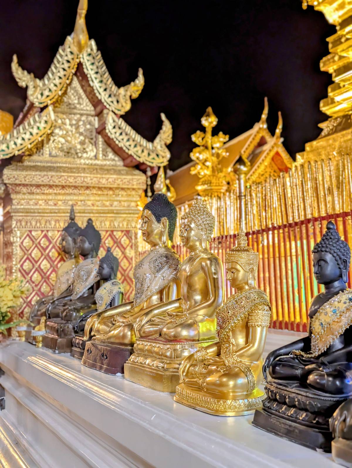
From the car park, a staircase of over 300 steps or a funicular climbs to the terrace, where the 24-metre golden chedi stands.10 Even after the hike, the stairs are worth doing on foot. On a clear day the terrace looks out over Chiang Mai and the plain beyond.
Higher still, the road continues towards Doi Pui. TAT notes that Doi Pui Viewpoint, reached from Doi Pui Hmong Village on top of the mountain, offers views of the Chiang Mai landscape and fine sunsets.21 One 7-hour hiking day goes on from the temple through the national park towards Doi Pui, with 2.5 hours of walking in the forest.
Map
First the hills around Chiang Mai where the treks and hikes go, then Doi Inthanon with its summit, pagodas, trails and falls.
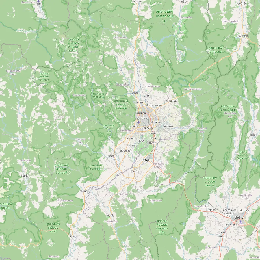 1Chiang Mai old city3Doi Suthep temple5Thailand's highest summit6Mae Wang7Mae Kampong
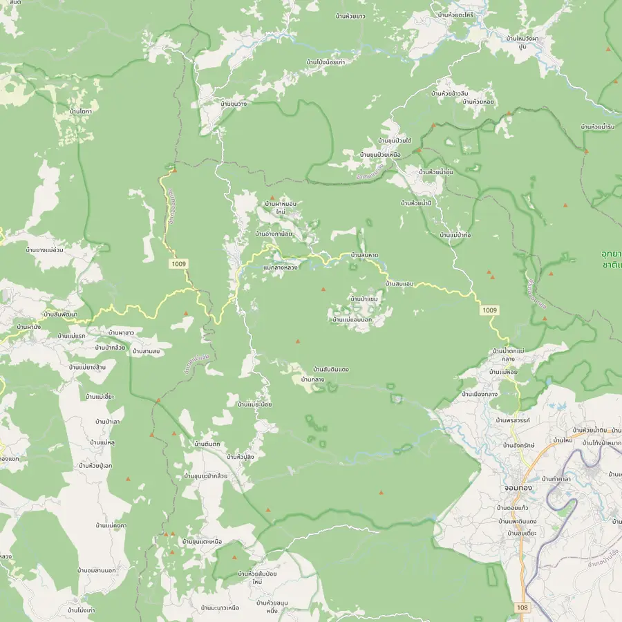 8Summit stupa9Twin pagodas and Kew Mae Pan11Pha Dok Siew12Mae Klang Luang13Siriphum Waterfall14Wachirathan Waterfall15Mae Klang Waterfall16Mae Ya Waterfall17Mae Pan Waterfall
Start of the site tour: the meeting point is Baan Meesuk in the old town, with pickup available.
In Google Maps ↗Wat Phrathat Doi Suthep stands at 1,056 metres, an easy half hour drive from downtown.3
The top of Doi Inthanon, at 2,565 meters.12
In Google Maps ↗Mae Wang District is one of the districts Doi Inthanon National Park covers.15
In Google Maps ↗Ban Mae Kampong, a village in Mae On District, won the PATA Gold Award 2010 in the culture category.22
In Google Maps ↗The stupa of King Inthawichayanon stands at the summit, linked to the visitor center by an elevated walkway.2324
In Google Maps ↗The Great Holy Relics Pagodas near the top; TAT lists give the nearby Kio Mae Pan Nature Trail as closed from 1 June to 31 October.252627
In Google Maps ↗Pha Dok Siao Waterfall has 10 tiers and lies about 1 kilometer on foot from the park headquarters.2829
In Google Maps ↗Ban Mae Klang Luang, a hill tribe village on several Doi Inthanon day trips.
In Google Maps ↗Twin falls reached on foot through the flower plots of the Inthanon Royal Project.30
In Google Maps ↗About 70 to 80 meters high, at milestone 20 of Highway 1009.3132
In Google Maps ↗Flows all year into large pools; rainy-season currents make swimming perilous.33
In Google Maps ↗Thirty tiers and approximately 260 meters in height.34
In Google Maps ↗Four tiers and over 100 meters tall, about 400 meters on foot from the ranger station.35
In Google Maps ↗Checklist
Cost calculator
Set how many of you are walking, then pick a trip for the total.
Total from$48
each from $24
Check availabilityfree cancellationStarting prices come from GetYourGuide, converted with European Central Bank rates; booking reveals the exact figure.
Video
The video loads only when you tap play.
You can walk alone, but a guided trip removes the logistics. The most reviewed hike is a 4-hour trip by songthaew with a short forest trek to Wat Pha Lat and a visit to Wat Phra That Doi Suthep with its view over the city. It has 855 reviews averaging 4.65 and starts from $24.
Its listing allows for different abilities: anyone who cannot do the hike up can ride up in the songthaew instead. On its sunrise programme, which starts at 5:00, guests visit Wat Phra That Doi Suthep first and then walk the Monk's Trail down from Wat Pha Lat rather than up. Hotel pickups begin up to 45 minutes before the start.
Not every Doi Suthep tour walks. One evening trip to Wat Pha Lat and the main temple states plainly that it does not walk the Monk's Trail, and a sunrise tour with 1,496 reviews reaches Wat Pha Lat by van. If the walk is the point, check that the listing names a hike, as the 4-hour trip and the 7-hour summit hiking day do.
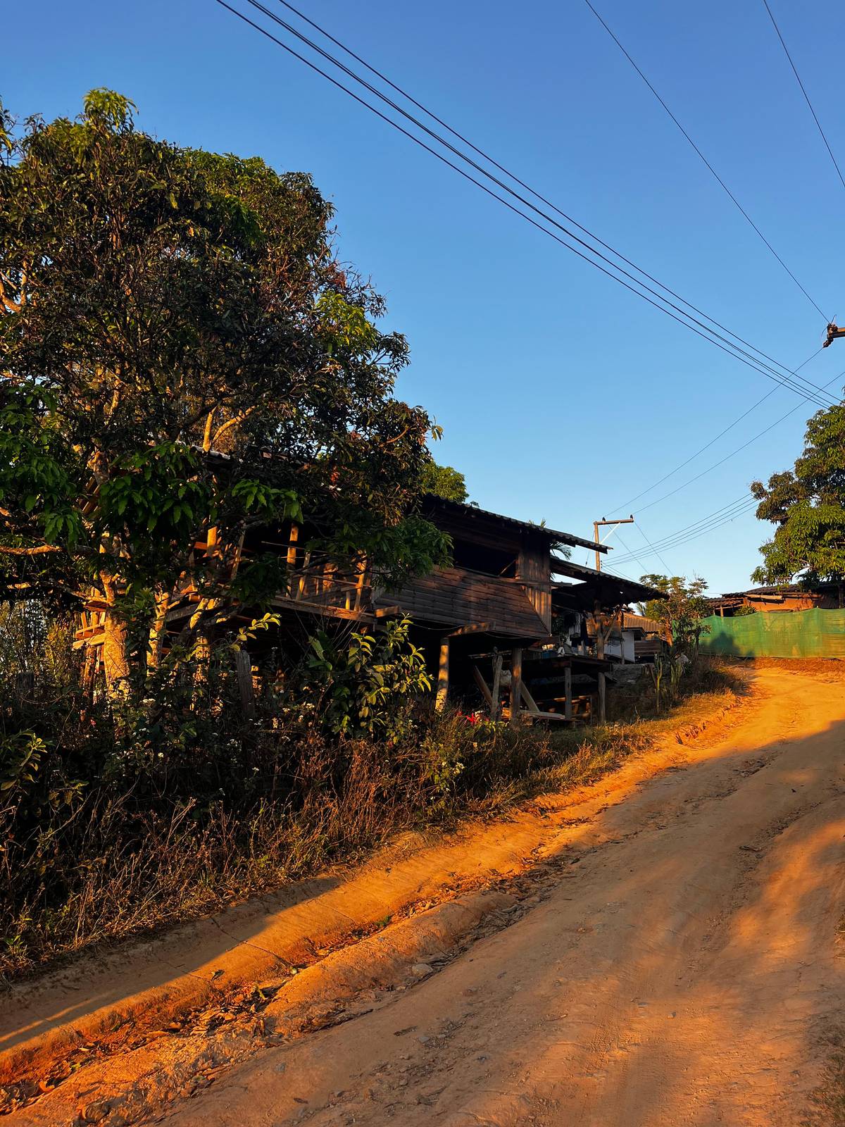
The trail is popular with independent walkers, and with a little preparation it is easy to do without a guide. Start from the western edge of the city, where the forest meets the last houses; ask your accommodation for the current trailhead, as access points change. Allow time to rest in the heat and carry more water than you think you need.
The path is a forest climb with roots, steps and loose earth rather than a paved walk. In places the way is marked, elsewhere you follow the most worn line, and you may meet monks and local walkers on it. Keep to the trail, step aside for anyone in robes, and do not shortcut the bends; erosion is the main damage a busy path suffers.
Coming back, you can walk down the same path or take a shared songthaew from the road back to the city. The guided 4-hour trip uses a songthaew as well, and its sunrise version walks down rather than up, which is easier on tired legs. Walking down still needs care on wet rock.
Doi Inthanon or Doi Suthep is a common choice for a short stay, and they are very different days. Doi Suthep is close: the temple is half an hour's drive from downtown, and the forest starts at the edge of the city.31 Doi Inthanon is around 90 minutes away and much higher, reaching 2,565 meters at Thailand's highest summit.1312
Choose Doi Suthep for a half-day walk, temples and a city view, with time left for the afternoon. Choose Doi Inthanon for a full day of waterfalls, a summit in cloud forest and a ridge or waterfall trail. If you have time for both, walk Doi Suthep first as a warm-up; it tells you how your legs cope with heat and steep forest paths.
Both are national parks, and the same habits apply: carry water, keep to the path and take your rubbish back down. The park service lists nature trails, trekking, waterfalls, bird and wildlife watching and camping among Doi Suthep-Pui's activities, so the mountain rewards a second visit.36
The forest path is short but not trivial. The park service warns that on its nature trail the humidity can make walkways slippery, and that venomous animals such as snakes live in the forest.37 The 4-hour guided hike asks for proper walking shoes. Watch your footing on roots and wet rock, especially coming down.
Weather follows the same seasons as the rest of the north: the park service gives Doi Suthep-Pui a summer from March to May, rain from June to November and winter from December to February.38 It averages 139 rainy days a year.16 Between December and February the lowest average temperature on the high ground falls to 4 to 5 degrees Celsius, so an early start needs a layer.18
Dress for the temples from the start: shoulders and knees covered is the rule on the guided hike, and on tours that visit both temples. Carry a light scarf or shirt you can pull on at the gate. Start early to avoid the midday heat and to find Wat Pha Lat at its quietest.
Your trek
All meals, a group of 12 at most, and free cancellation until 24 hours before.
1,601 meters at San Ku. Doi Suthep reaches 1,601 meters; nearby Doi Pui is the park's highest point at 1,685 meters.8
Very close. The city is six kilometers from the foot of the mountain and about 16 kilometers by road from the summit.1
A forest temple on the way up. Built in the mid-14th century as a resting place for people walking to Doi Suthep; a meditation site since the 1930s.2
No. On the guided hike, anyone who cannot walk up can ride up in the songthaew.
Over 300, or take the funicular. A staircase of over 300 steps or a funicular climbs from the car park to the temple.10
Yes, at both temples. Shoulders and knees must be covered at the temples, the guided hike says.
Yes, on the sunrise trip. The sunrise programme starts at 5:00, visits the main temple first and walks the Monk's Trail down.
Sources