 This page's pick
Pha Dok Siew trek day
Doi Inthanon trail and summit
- On foot
- 2 hrs
- Reviews
- 1,158
- Price
- from $35
Guides
Language
EnglishCurrency
US dollar · $Your currency applies on GetYourGuide too.
Guide · Day hikes
Hiking in Chiang Mai ranges from a forest path that starts at the city's edge to ridge trails on Thailand's highest mountain. Here are the walks worth your day, and how to do them.
Editorial team, trekkingtourchiangmai.comUpdated October 27, 2026Read time: 6 min32 sources
Quick answer, the hikes
The best hikes in Chiang Mai fall into three groups. Close to the city, Doi Suthep's forest climbs straight from the suburbs. An hour or two away, the national parks offer marked trails with views, waterfalls and cloud forest. And further out, guided jungle treks cross farmland and forest between villages. Decide how far you want to travel before you decide what to walk.
Time on foot varies more than the brochures suggest. One guided Doi Inthanon day includes 2 hours on its trail; a hard jungle day in Doi Saket plans about 5 hours of hiking. Count the drive too: Doi Inthanon is around 90 minutes from the city, while Doi Suthep's temple is half an hour away.45
Season matters on every route. The ridge trail on Doi Inthanon is closed from 1 June to 31 October in TAT's lists of park closures, and in the hot months haze can spoil the views; TAT advises checking air quality reports.36 Plan the big views for the cool, dry months and the forest walks for the rest of the year.
A week of hikes
Day one
Day two
1.5 hours on the Monk's Trail plus 2.5 hours in the park.
Day three
A 2-hour forest hike looking for gibbons.
Day four
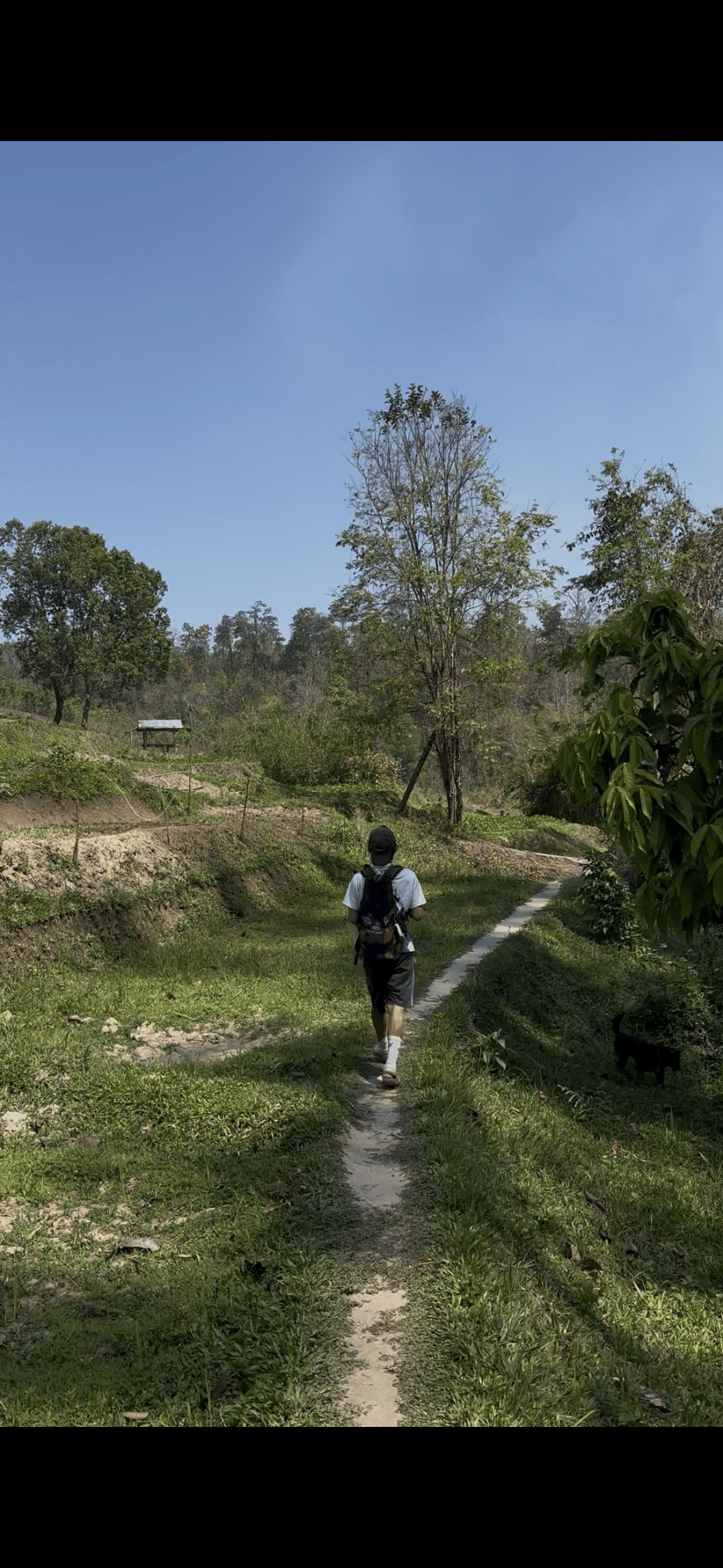
A 2-hour guided trek on Pha Dok Siew.
Day five
About 5 hours of jungle hiking to a waterfall.
The simplest real hike to arrange starts at the edge of town. The park service notes that Chiang Mai city is only six kilometers from the foot of Doi Suthep.1 The old path climbs through forest to Wat Pha Lat, a temple TAT says was built in the mid-14th century as a resting place for people walking to Doi Suthep, and on towards Wat Phrathat Doi Suthep at 1,056 metres.75
A guided 4-hour trip walks the forest trek to Wat Pha Lat and then visits the main temple, from $24. For a full day, a 7-hour hiking trip walks the Monk's Trail for 1.5 hours and then hikes 2.5 hours in Doi Suthep-Pui National Park towards Doi Pui. Doi Pui is the park's highest point, at 1,685 meters.8
Lower on the mountain, the park's waterfalls make short walks of their own. Huai Kaeo is a small fall of about 10 meters very close to town, and Montha Than drops over a 30-meter cliff on its way down from Doi Pui.910 One guided day hikes for 3 hours from the Montha Than visitor centre before switching to mountain bikes.
Time on foot
The hikes compared
| Hike | Where | On foot | Note | Guided from |
|---|---|---|---|---|
| Monk's trail | Doi Suthep | Short climb | Temple halfway | from $24 |
| Doi Suthep to Doi Pui | Doi Suthep-Pui park | About 4 hrs | Up to 1,685 m | from $59 |
| Pha Dok Siew | Doi Inthanon | 2 hrs | Downhill, easy to moderate | from $35 |
| Kew Mae Pan | Doi Inthanon | About 2 hrs | Closed June to October | from $59 |
| Doi Saket jungle | Doi Saket | About 5 hrs | Challenging | from $54 |
| Mae Kampong gibbons | Mae Kampong | 2 hrs | Steep in places | from $75 |
Walking times and notes from the listings, the park service and TAT; prices are starting prices for guided days on GetYourGuide.783
Three guided hikes
This page's pickDoi Inthanon trail and summit
 Hardest walk
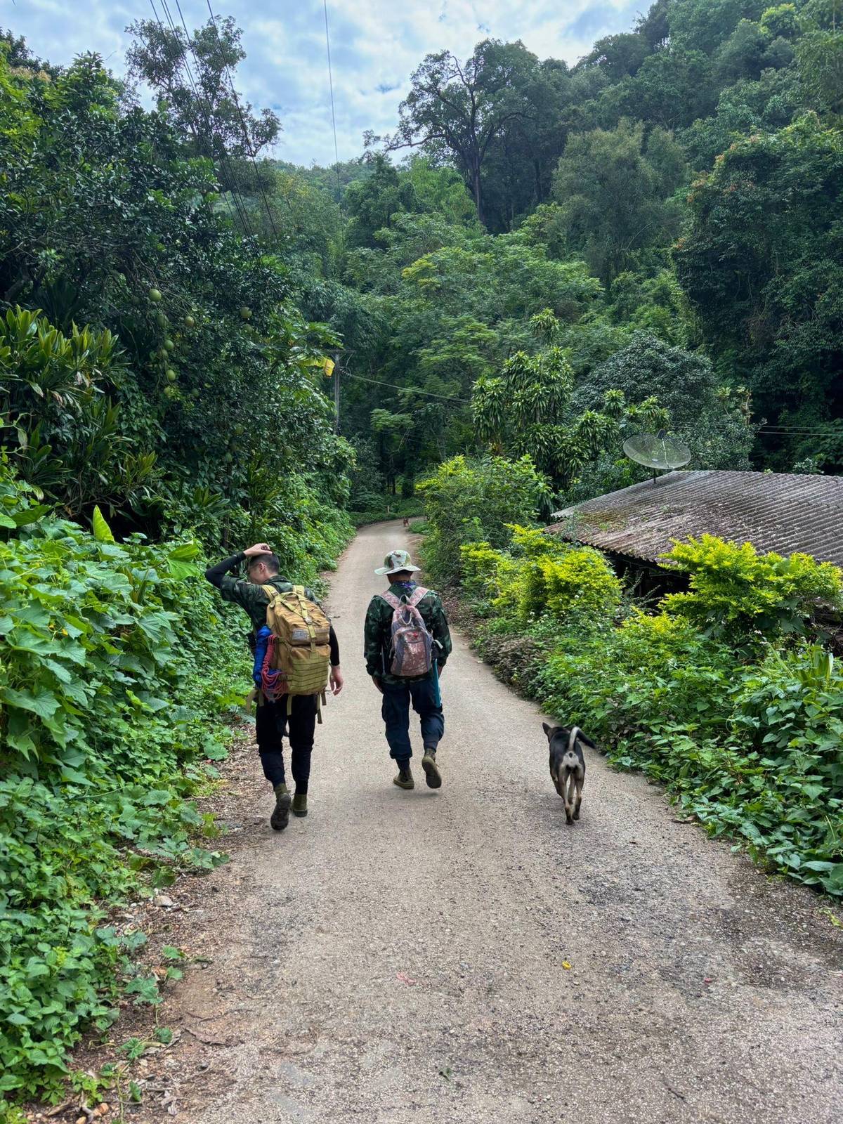
Remote village to a waterfall
 Closest to town
Monk's Trail and Doi Pui
Decision helper
Choose by time, effort and what you want to see.
Ridges and viewpoints at around 2,000 metres, November to May.2
About 5 hours on a path its listing calls challenging.
A forest walk looking for released gibbons with a caretaker.
It runs through Khok Ma Creek until it reaches a 30-meter-high cliff and plunges into the basin below
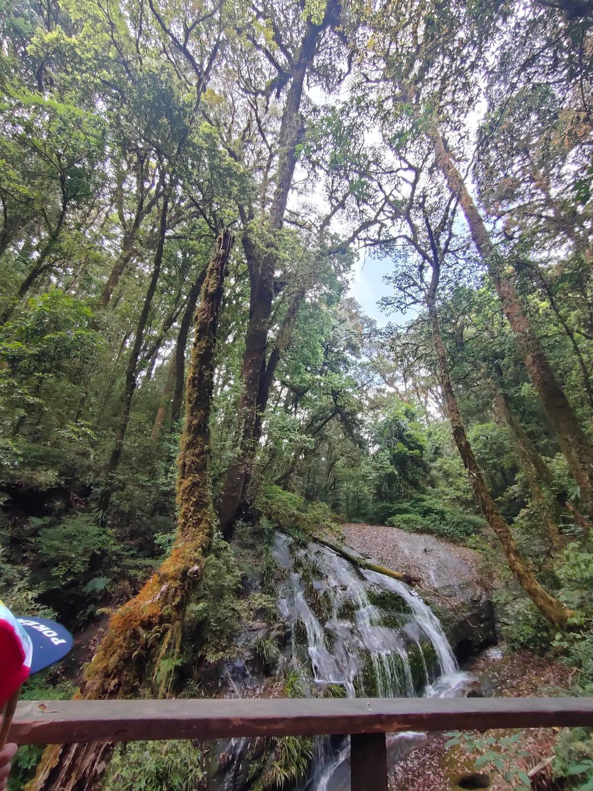
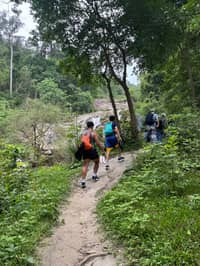
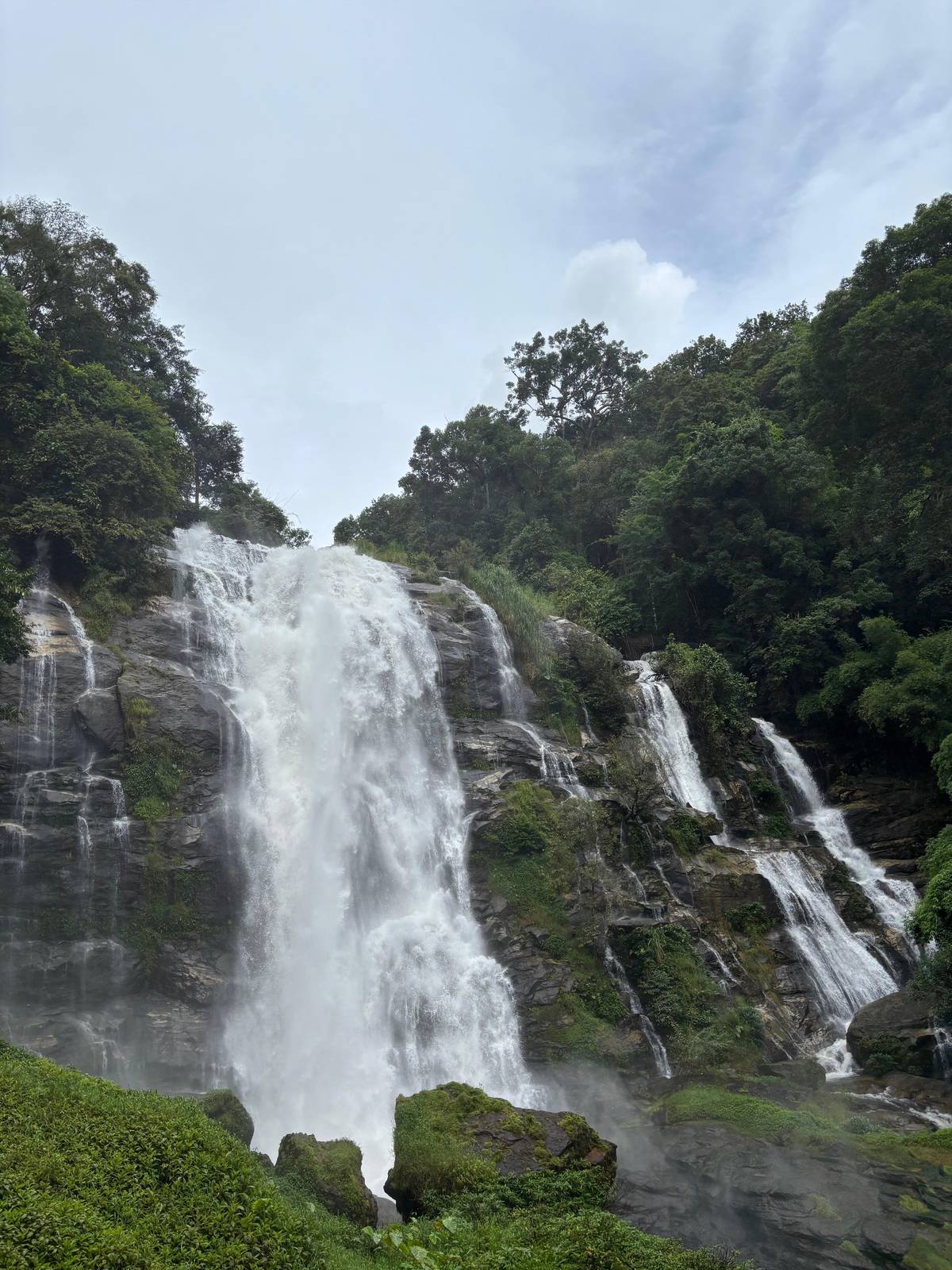
The most celebrated Chiang Mai hiking trails are on Doi Inthanon, Thailand's highest mountain at 2,565 meters.13 Kew Mae Pan, at around 2,000 metres, is the ridge walk TAT calls one of Thailand's most celebrated nature trails, with forest paths and panoramic viewpoints.2 Pha Dok Siew follows a 10-tier waterfall about 1 kilometer from the park headquarters.1112
Guided days are the easy way to reach them. The most reviewed trek day, with 1,158 reviews, includes a 2-hour trek on Pha Dok Siew plus the pagodas, the highest point and a Karen village, from $35. For the ridge, a Kew Mae Pan day offers its hike of around 2 hours from November to May only.
The summit area has the gentlest walk of all: one listing describes the Ang Ka trail as a short 360-meter boardwalk, not a full hiking trail. Our page on the Doi Inthanon trails compares the three in detail, with the closures and the guided days for each.
Map
First the hills around Chiang Mai where the treks and hikes go, then Doi Inthanon with its summit, pagodas, trails and falls.
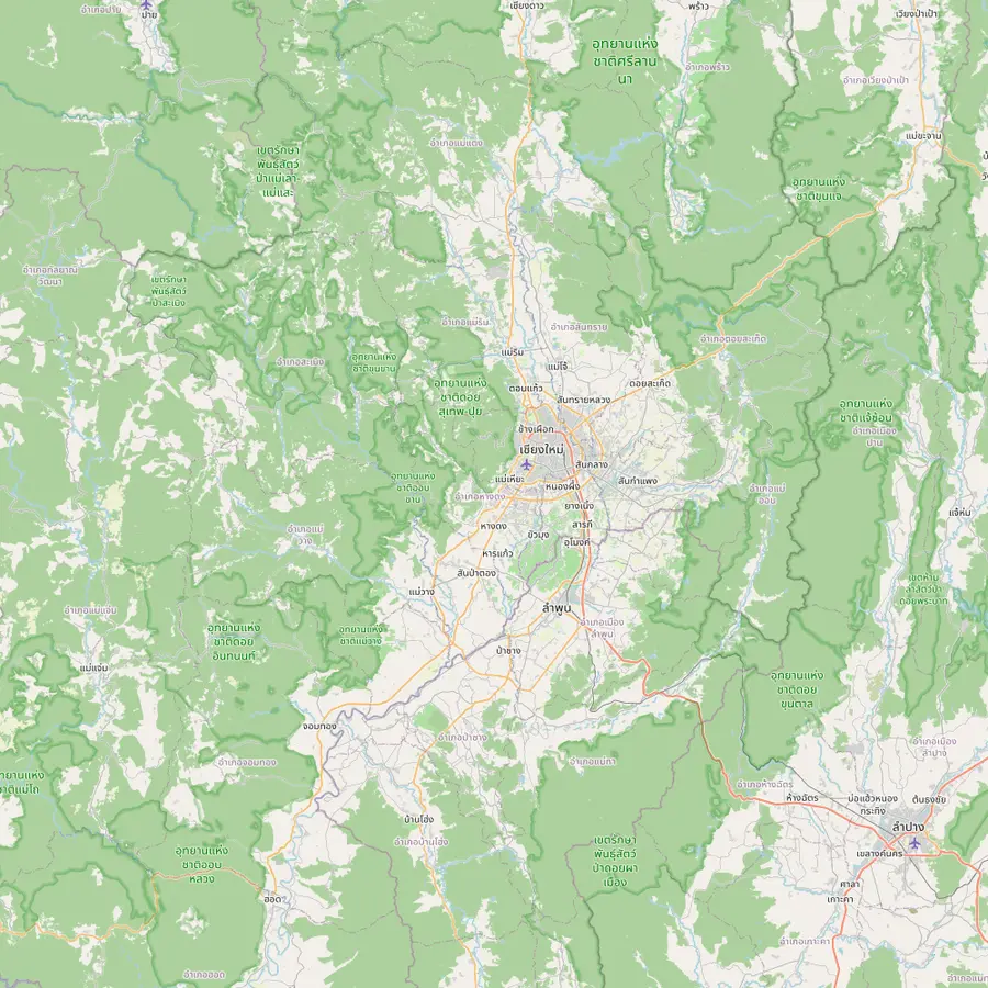 1Chiang Mai old city3Doi Suthep temple5Thailand's highest summit6Mae Wang7Mae Kampong
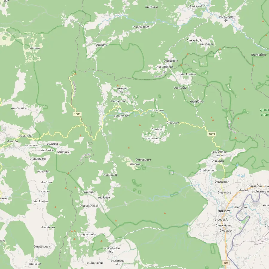 8Summit stupa9Twin pagodas and Kew Mae Pan11Pha Dok Siew12Mae Klang Luang13Siriphum Waterfall14Wachirathan Waterfall15Mae Klang Waterfall16Mae Ya Waterfall17Mae Pan Waterfall
Start of the site tour: the meeting point is Baan Meesuk in the old town, with pickup available.
In Google Maps ↗Wat Phrathat Doi Suthep stands at 1,056 metres, an easy half hour drive from downtown.5
The top of Doi Inthanon, at 2,565 meters.13
In Google Maps ↗Mae Wang District is one of the districts Doi Inthanon National Park covers.14
In Google Maps ↗Ban Mae Kampong, a village in Mae On District, won the PATA Gold Award 2010 in the culture category.15
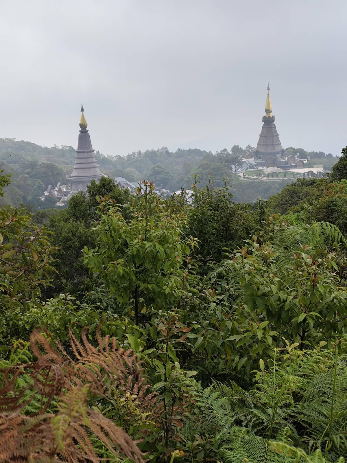
In Google Maps ↗The stupa of King Inthawichayanon stands at the summit, linked to the visitor center by an elevated walkway.1617
In Google Maps ↗The Great Holy Relics Pagodas near the top; TAT lists give the nearby Kio Mae Pan Nature Trail as closed from 1 June to 31 October.18319
In Google Maps ↗Pha Dok Siao Waterfall has 10 tiers and lies about 1 kilometer on foot from the park headquarters.1112
In Google Maps ↗Ban Mae Klang Luang, a hill tribe village on several Doi Inthanon day trips.
In Google Maps ↗Twin falls reached on foot through the flower plots of the Inthanon Royal Project.20
In Google Maps ↗About 70 to 80 meters high, at milestone 20 of Highway 1009.2122
In Google Maps ↗Flows all year into large pools; rainy-season currents make swimming perilous.23
In Google Maps ↗Thirty tiers and approximately 260 meters in height.24
In Google Maps ↗Four tiers and over 100 meters tall, about 400 meters on foot from the ranger station.25
In Google Maps ↗Checklist
Cost calculator
Choose a guided hike and your number of walkers.
Total from$70
each from $35
Check availabilityfree cancellationStarting prices come from GetYourGuide, converted with European Central Bank rates; booking reveals the exact figure.
Video
The video loads only when you tap play.
If you want forest and effort without the crowds of the national parks, look at the jungle day treks. The Doi Saket trek drives 1.5 hours, then hikes about 5 hours from a remote mountain village through jungle to a waterfall swim, over a fallen-tree bridge and through bamboo groves, in groups of up to 10. Its listing calls the path challenging.
Its reviews average 4.97 across 225 ratings, and it starts from $54. A gentler choice is the high mountain day trek: about 80 minutes to the start, 2.75 hours of hiking on 4.5 km of undulating ground with an optional extra 2.5 km, lunch in a village and back in the city around 5 PM.
Further north, a Chiang Dao day mixes 2.5 hours of sightseeing and hiking with 2 hours at the Bua Thong Sticky Waterfalls, in groups of up to 9. TAT describes the Sticky Waterfall's limestone walls as sticky enough to climb, about 90 minutes from the city.26
East of the city, the hills around Mae Kampong offer a slower walk with a reason to keep quiet. A small-group day limited to 7 hikes for 2 hours on a forest trail and looks for gibbons released in a rehabilitation project, with a caretaker. Sightings are not guaranteed, as the gibbons are wild and free to roam.
It has 804 reviews averaging 4.94 and starts from $75. Gibbons are easiest to find by sound: researchers note that pairs sing duets between sunrise and noon, peaking at mid-morning, that can be heard up to one kilometer away.27 Our page on Mae Kampong covers the village and the gibbons in detail.
The village itself is known for its homestays: TAT reports that Ban Mae Kampong won the PATA Gold Award 2010 in the culture category.15 Combine the walk with a coffee in the village and you have a gentle, rewarding day that suits families and anyone who prefers wildlife to summits.
Northern Thailand's trails are rarely technical, but they are often steep, rooty and wet. Forest paths on Doi Suthep climb on earth and stone, Doi Inthanon's trails mix boardwalk, steps and muddy sections, and jungle routes add stream crossings and bamboo bridges. One Mae Kampong listing warns that its trail is steep and uneven in places over 3 to 5 km.
Heat is often the bigger challenge. Start early, rest in the shade and carry salty snacks as well as water. On the mountains the problem flips: the park service describes Doi Inthanon's upper highlands as wet and cold all year, so a fleece belongs in the pack even when Chiang Mai is hot.28
In the rainy months, expect mud on every route and slippery rock near water. The park has closed the Pha Dok Siew trail and waterfalls when the water rose, reopening once levels were back to normal.29 Light trail shoes with a good grip beat heavy boots for most of these hikes.
Hiking in Chiang Mai without a guide is realistic on a few routes. The Doi Suthep path to Wat Pha Lat is close to the city and well trodden; the national park trails on Doi Inthanon are marked, though Kew Mae Pan is walked with a local Hmong guide hired at the trailhead, and the park service lists mobile signal on the Kio Mae Pan Nature Trail.30 Jungle routes between villages are a different matter, and for those a local guide is worth paying for.
Carry more water than you think, start early and keep the afternoon free for storms in the wet months. The park service warns that on Doi Suthep's nature trail humidity makes walkways slippery and venomous animals such as snakes live in the forest.31 Stick to marked paths, tell someone your route and turn back if the weather changes.
Pay the park fees and keep the receipt, as the park service asks.32 Respect any trail closures; TAT's lists of seasonal closures give Kio Mae Pan as closed from 1 June to 31 October, and trails can also close after heavy rain.329 Take your rubbish home and leave plants, flowers and stones where they are.
Your trek
All meals, a group of 12 at most, and free cancellation until 24 hours before.
The monk's trail on Doi Suthep. It starts at the foot of Doi Suthep, only six kilometers from the city, and leads to Wat Pha Lat.17
Kew Mae Pan on Doi Inthanon. TAT describes it as a trail of ridgelines and panoramic viewpoints at around 2,000 metres.2
The Doi Saket jungle trek. It plans about 5 hours of hiking, and its listing calls the path challenging.
On some marked routes. Doi Suthep and most Doi Inthanon trails are marked, but Kew Mae Pan needs a local guide; the park service warns of slippery paths and snakes on Doi Suthep.31
Kew Mae Pan closes June to October. TAT's lists give Kio Mae Pan as closed from 1 June to 31 October; others can close after heavy rain.329
In the hot season, yes. TAT advises checking air quality reports during haze, and one trek warns of low air quality in the hot season.6
Around Mae Kampong. A small-group day looks for released gibbons with a caretaker; sightings are not guaranteed.
Sources