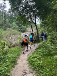
 This page's pick
Pha Dok Siew trek day
2-hour trek, pagodas, village
- On foot
- 2 hrs
- Reviews
- 1,158
- Price
- from $35
Guides
Language
EnglishCurrency
US dollar · $Your currency applies on GetYourGuide too.
Guide · Trails
A Doi Inthanon hike means one of three very different paths: a ridge above the clouds, a boardwalk through moss, or a waterfall trail through rice country. Here is how to choose.
Editorial team, trekkingtourchiangmai.comUpdated October 27, 2026Read time: 7 min35 sources
Quick answer, by trail
Most guided days on the mountain include one marked trail, and which one you get depends on the listing and the month. The park service lists Kio Mae Pan and Ang Ka among its attractions alongside the waterfalls, and nature trails and trekking among its activities.3 The three you will hear about are a ridge path near the top, a boardwalk by the summit and a waterfall trail lower down.
They differ in effort as much as in scenery. Ang Ka is short and flat. Kew Mae Pan climbs to open ridges with wide views. Pha Dok Siew follows a stream past a string of cascades into farmland. None of them is a full-day expedition, and on a guided day the trail fills a couple of hours between the drive, the pagodas and lunch.
If you want a real Doi Inthanon hike rather than a stroll between viewpoints, check the trail named in the listing and the season before booking. A day sold with Kew Mae Pan in the rainy months will either switch trails or skip the walk, and the boardwalk at Ang Ka is pleasant but not exercise.
A trail day, as one listing runs it
Early morning
About 2 hours from Chiang Mai.
First stop
A short visit to the highest point.
Mid-morning
Sightseeing and a village stop.
Late morning
A guided hike of about 2 hours.
Afternoon
Then about 1.5 hours back to the city.
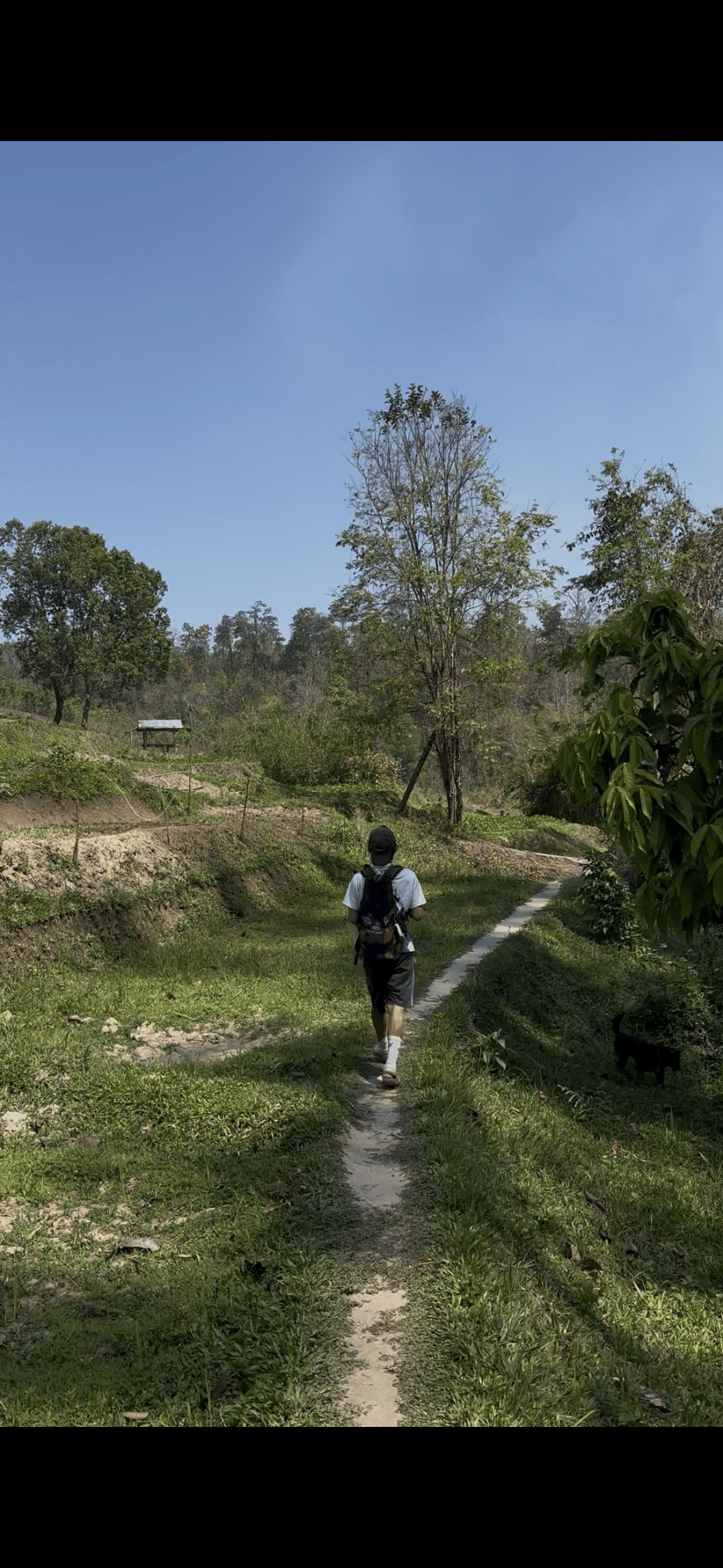
The Kew Mae Pan nature trail on Doi Inthanon is the one in the photos. TAT places it at around 2,000 metres above sea level; in its words it is one of Thailand's most celebrated nature trails, with ridgelines, forest paths and panoramic viewpoints.1 It is known for mountain views, the sea of mist, evergreen forest and a highland ecosystem.4 The park service calls it a major nature trail of the park.5
The first sight at the start is Lan Sadet, a small waterfall where wading is not permitted, set in shady hill evergreen forest with moss on the trees and around the creek.67 Further on the path leaves the forest for open grass and the views TAT describes; in the cool months the Kiew Mae Pan Viewpoint is a favourite spot for the morning mist.8
The catch is the season. TAT's lists of park closures give Kio Mae Pan as closed from 1 June to 31 October, in 2018 and again in 2023.92 One guided day that sells the trail states that its hike of around 2 hours is only available from November to May. Plan your mountain day for the dry season if this ridge is the reason you are going.
Time on the trail
The trails compared
| Trail | Character | Effort | Season | Guided days |
|---|---|---|---|---|
| Kew Mae Pan | Ridges & viewpoints | About 2 hrs | Closed June to October | Kew Mae Pan day |
| Ang Ka | Cloud-forest boardwalk | 360 m | No seasonal closure listed | Eco-friendly day |
| Pha Dok Siew | Waterfall & rice terraces | 2 to 3 hrs | Can close in high water | Most trek days |
| Pha Samran to Mae Pan | Path to a waterfall | About 400 m | Not stated | Few tours |
Lengths and walking times from the listings and the park service; closure months from TAT's seasonal closure lists.10211
Three guided trail days
This page's pick2-hour trek, pagodas, village
 The views
Ridge trail, November to May
 Smaller group
Up to 12, summit and trail
Decision helper
Match your month and your legs to a trail.
Ridgelines and panoramic viewpoints, open November to May.1
The waterfall trail most guided days use when Kew Mae Pan is shut.2
A short boardwalk through cloud forest near the summit.
One listing calls Pha Dok Siew a downhill walk of about 500 m descent.
Limited to 12, with 2 to 3 hours on the trail.
Located at around 2,000 metres above sea level in Doi Inthanon National Park, Kew Mae Pan is one of Thailand's most celebrated nature trails, with ridgelines, forest paths and panoramic viewpoints
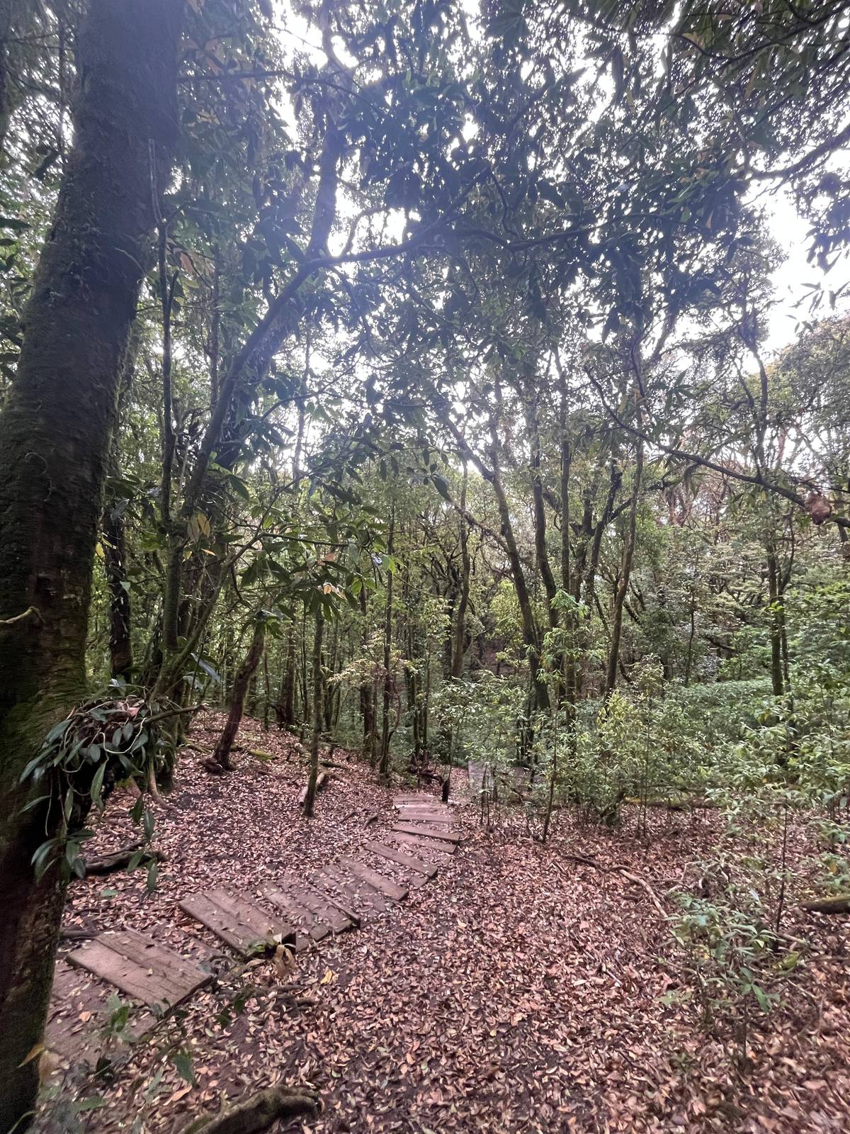
The Ang Ka nature trail on Doi Inthanon is a different thing entirely: a walk through the summit's cloud forest rather than a hike. One tour listing describes it frankly as a short 360-meter boardwalk, not a full hiking trail. Above 1,800 meters the park service says low clouds keep the forest foggy for most of the year, and that is the forest you walk through here.12
The name has its own story. The park service explains that Ang Ka refers to a basin-shaped pond west of the summit where crows gathered to swim, and that the word also comes from the Karen language, meaning big.1314 At the edge of the summit bog grows Rhododendron simsii, a species the park service describes as found only on the top of Doi Inthanon.15
Expect a damp, mossy world of tree trunks hung with epiphytes, often in cloud. It takes little effort, which makes it a good stop for children, older walkers or anyone who only wants a taste of the high forest. Bring a warm layer: the park service describes the summit as windy and very cold on the coldest winter days.16
Map
First the hills around Chiang Mai where the treks and hikes go, then Doi Inthanon with its summit, pagodas, trails and falls.
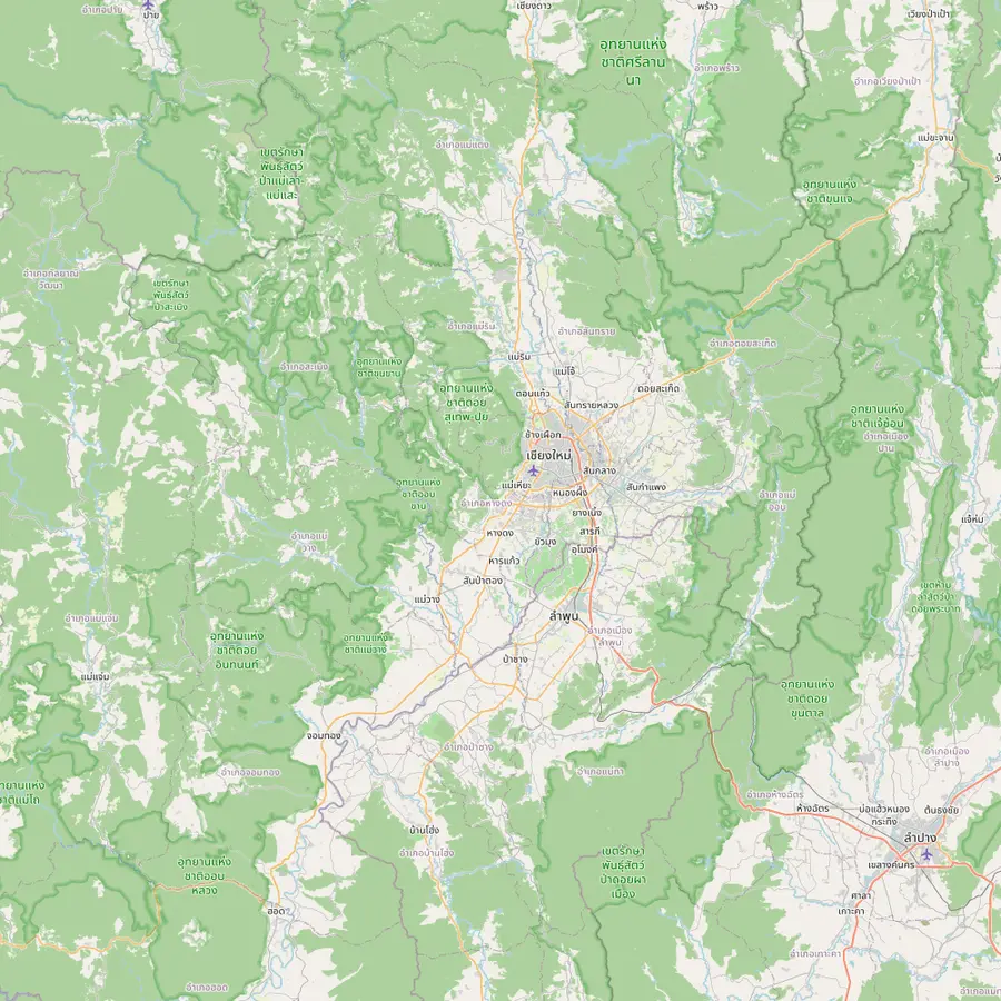 1Chiang Mai old city3Doi Suthep temple5Thailand's highest summit6Mae Wang7Mae Kampong
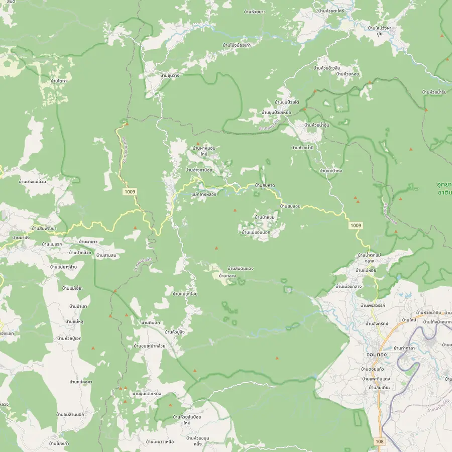 8Summit stupa9Twin pagodas and Kew Mae Pan11Pha Dok Siew12Mae Klang Luang13Siriphum Waterfall14Wachirathan Waterfall15Mae Klang Waterfall16Mae Ya Waterfall17Mae Pan Waterfall
Start of the site tour: the meeting point is Baan Meesuk in the old town, with pickup available.
In Google Maps ↗Wat Phrathat Doi Suthep stands at 1,056 metres, an easy half hour drive from downtown.17
The top of Doi Inthanon, at 2,565 meters.18
In Google Maps ↗Mae Wang District is one of the districts Doi Inthanon National Park covers.19
In Google Maps ↗Ban Mae Kampong, a village in Mae On District, won the PATA Gold Award 2010 in the culture category.20
In Google Maps ↗The stupa of King Inthawichayanon stands at the summit, linked to the visitor center by an elevated walkway.2122
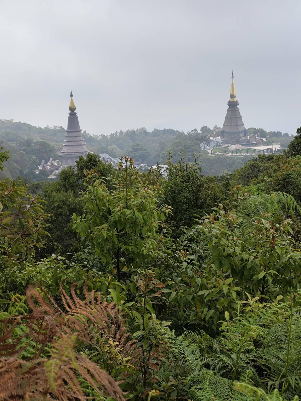
In Google Maps ↗The Great Holy Relics Pagodas near the top; TAT lists give the nearby Kio Mae Pan Nature Trail as closed from 1 June to 31 October.2329
In Google Maps ↗Pha Dok Siao Waterfall has 10 tiers and lies about 1 kilometer on foot from the park headquarters.2425
In Google Maps ↗Ban Mae Klang Luang, a hill tribe village on several Doi Inthanon day trips.
In Google Maps ↗Twin falls reached on foot through the flower plots of the Inthanon Royal Project.26
In Google Maps ↗About 70 to 80 meters high, at milestone 20 of Highway 1009.2728
In Google Maps ↗Flows all year into large pools; rainy-season currents make swimming perilous.29
In Google Maps ↗Thirty tiers and approximately 260 meters in height.30
In Google Maps ↗Four tiers and over 100 meters tall, about 400 meters on foot from the ranger station.10
In Google Maps ↗Checklist
Cost calculator
Pick a trail day, add your hikers, read the total.
Total from$70
each from $35
Check availabilityfree cancellationStarting prices come from GetYourGuide, converted with European Central Bank rates; booking reveals the exact figure.
Video
The video loads only when you tap play.
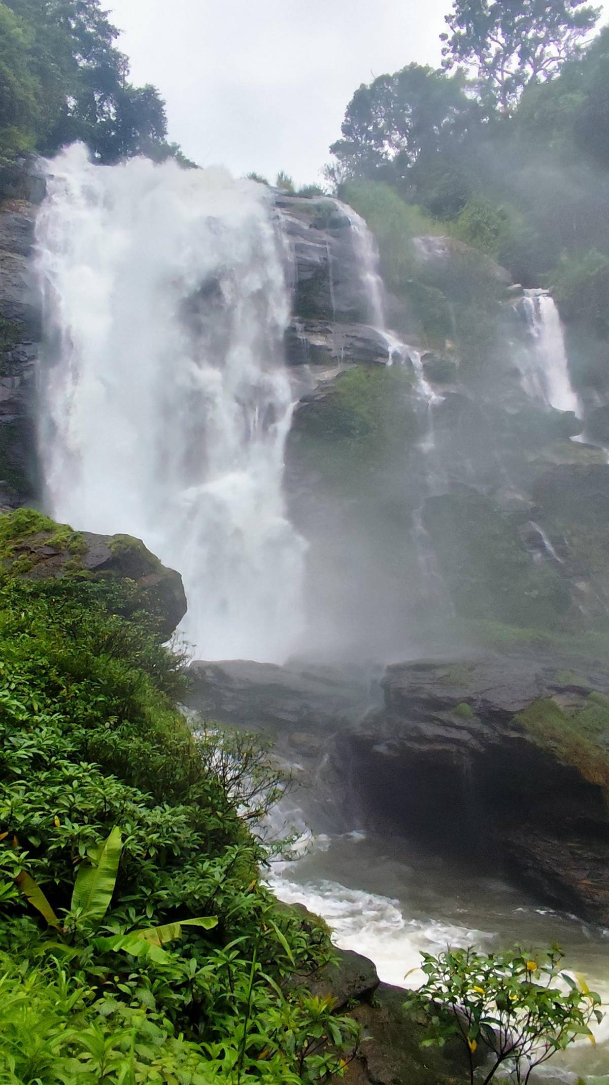
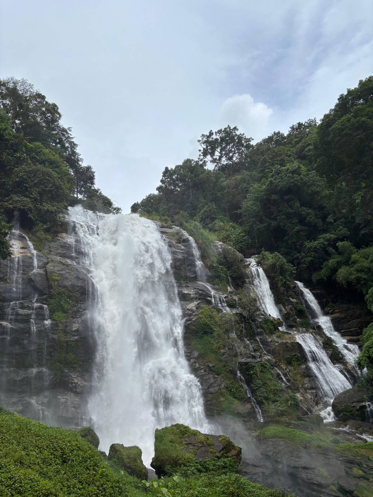
Pha Dok Siew is the trail most guided days use, and it is open in the months when Kew Mae Pan is closed. The waterfall it follows has 10 tiers, and the park service says the 6th to 10th tiers are the easiest to explore, about 1 kilometer on foot from the park headquarters.2425 The name comes from the orchid tree that grows in the area.31
Listings describe the walk in practical terms. One small-group day says the trek takes 2 to 3 hours on narrow jungle paths and recommends a light jacket or long sleeves. Another calls it a downhill walk of about 500 m descent, easy to moderate, with several cascades and rice terraces along the way. The most reviewed trek day includes 2 hours on the trail.
Water levels decide whether it is safe. In August 2019 the park closed the Pha Dok Siew trail and waterfalls temporarily for safety, to reopen once the water returned to normal.11 In the rainy months, expect wet rocks, bamboo bridges and mud; shoes with grip matter more than any other piece of kit on this path.
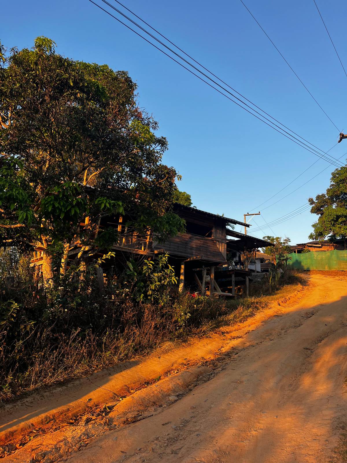
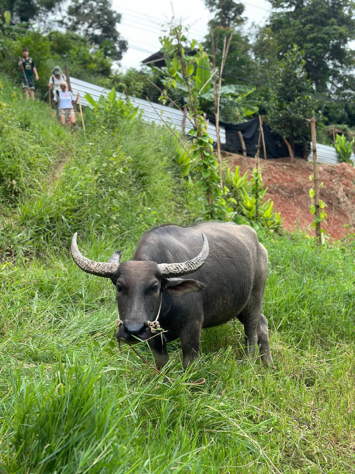
The cheapest way onto a trail is a shared trek day. The Pha Dok Siew day with 1,158 reviews starts from $35 and combines a 2-hour trek with the King's and Queen's pagodas, the highest point and a Karen village. It runs as a joint tour of 10 to 12 guests, with pickup from 7:00 to 7:30 am in the old city area.
For the ridge, the Kew Mae Pan day lasts 11 hours with pickup, and also visits both pagodas, a Hmong village and Wachirathan Waterfall. It starts from $59 with 1,023 reviews averaging 4.74. A small-group alternative limited to 12 adds the summit, a monastery and coffee tasting around 2 hours on the Pha Dok Sieo trail, from $60.
A Viator day sold as a 3-in-1 pairs a 2-hour trek on the Pha Dok Siew trail with an elephant sanctuary, and its record says the route can change to Kew Mae Pan or another path with the weather or official announcements. Our page on elephant and trekking days compares that format with the others.
Beyond the three famous trails, the park's western slopes towards Mae Chaem hold short walks that few tours use. The park service describes Mae Pan Waterfall as four tiers over 100 meters tall, reached on foot in about 400 meters along the Pha Samran nature trail from the Mae Pan ranger station.10 Ask at the ranger station about the state of the path before you set off, especially after heavy rain.
These are walks for people with their own transport and a slower plan. The road down to Mae Chaem passes a checkpoint where, the park service notes, drivers who are only going through to Mae Chaem and not to the summit can say so and be exempt from the fee.32 If you are visiting the waterfalls on that side, though, expect to pay as a park visitor.
Combine one of these with a night in a guesthouse on the mountain and you have a quieter version of the classic day: the ridge or the summit at dawn, a waterfall walk at midday and the drive down in the afternoon, without the queue of vans at the main viewpoints.
Start early. The higher trails are often at their clearest in the first hours of the day, before cloud builds. If you drive yourself, the park headquarters sits at milestone 31 of the mountain road, and Pha Dok Siao Waterfall lies about 1 kilometer on foot from there.3325
Carry water, a light rain shell and a warm layer even in the dry season; above 2,000 meters the park service describes a temperate climate.34 Phone signal is limited, though the park service lists AIS and TRUE coverage on the Kio Mae Pan Nature Trail.35 Tell someone your plan if you walk without a guide, and stay on marked paths.
Treat the trails gently. Do not pick plants or flowers on the summit, keep off the bog edges, and take every wrapper back down. Many of the paths cross land of Karen and Hmong villages, so greet people you meet and ask before taking portraits.
Your trek
All meals, a group of 12 at most, and free cancellation until 24 hours before.
Kew Mae Pan. TAT describes it as a trail of ridgelines and panoramic viewpoints at around 2,000 metres.1
From 1 June to 31 October. TAT's lists of seasonal park closures give the Kio Mae Pan trail as closed in those months.29
No, it is a boardwalk. One listing describes it as a short 360-meter boardwalk, not a full hiking trail.
About 2 to 3 hours with a guide. One small-group listing gives 2 to 3 hours on narrow jungle paths; another gives 2 hours.
Mostly downhill. One listing describes it as a downhill trek of about 500 m descent, easy to moderate.
Yes, in high water. In August 2019 the park closed the Pha Dok Siew trail and waterfalls temporarily for safety.11
On some of them. The park service lists AIS and TRUE coverage on the Kio Mae Pan Nature Trail.35
Sources